
GeoSight
Loading project images
Lorem ipsum dolor sit amet, consectetur adipiscing elit.
Integer vel neque eu libero dignissim pellentesque at vitae felis.
Note
Donec sed augue vitae augue sodales convallis. Nulla facilisi. Vivamus interdum, libero sed posuere volutpat.
Extract
Pellentesque habitant morbi tristique senectus et netus et malesuada fames ac turpis egestas.
Caption
Praesent et sapien at justo hendrerit cursus. Suspendisse potenti. Aliquam erat volutpat.
Scope of Work
Included services: Brand Strategy, Visual Identity, Product Design.
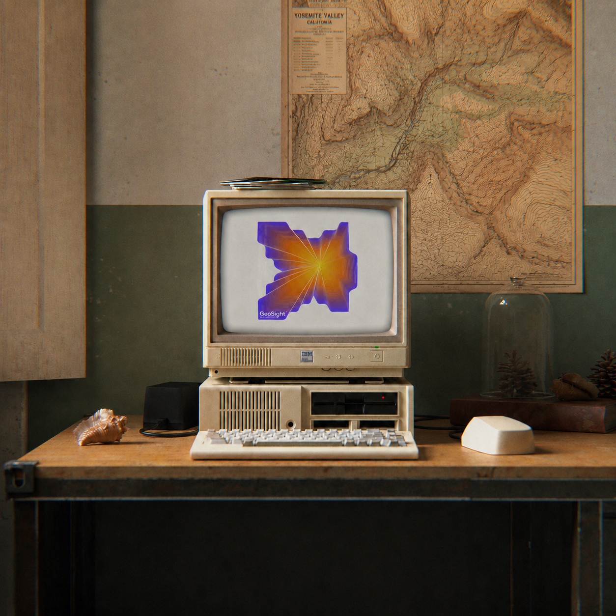
GeoSight is a geospatial intelligence concept built around seeing more in location data. Mapping, surveying, and spatial analysis become a clear graphic language positioned between technical accuracy and practical decision-making.
Process
System
Coordinates, field grids, and layered contours provide the raw material for the system. These elements behave as working tools rather than surface decoration, helping maps, reports, dashboards, and presentations share a common logic. A focused color scale keeps dense information readable while giving the brand a distinct technical presence.
Behaviour
The same rules work in the field and on screen. GeoSight remains precise when the subject is complex, but never loses sight of the person who needs to understand what the data is showing.